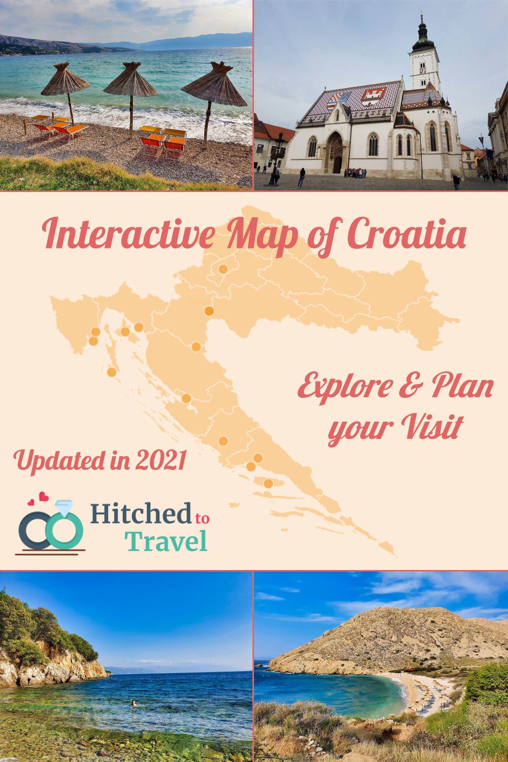
On our interactive Croatia travel map below, you’ll find highlights of our articles on Croatia added to the map. Each of those articles will link you to further details.
You can use this map to explore destinations in Croatia and discover what places are close to each other and would fit your itinerary.
For more details on Croatia, check our travel guide and our 2 week road trip itinerary.
In addition to exploring the locations on our Croatia travel map, we also recommend the following articles:
- Top 10 places to visit in Croatia: Our selection of the top destinations to visit in Croatia.
- 10 Best Beaches in Croatia: Discover our favorite beaches in Croatia (with map).
- National Parks of Croatia: Find information on the 8 national parks of Croatia.
- Road trip Croatia: Check our 2 week itinerary to all the highlights you must visit in Croatia.
Map of Istria and Primorje-Gorski Kotar
If you’re interested in visiting the north of Croatia, you can check our detailed map. This map highlights Istria County and Primorje-Gorski Kotar County. Those two counties are located in the northwest of Croatia, on the border with Slovenia.
Many tourists coming to Croatia by car, will enter through one of those counties, so if you don’t want to drive too far down in Croatia, this is a great place to spend your time. Both counties have lots to offer!
We did visit this region in 2020. So if you’re interested in Istria peninsula, the island Krk and Losinj, check our itinerary of our 10 day visit to the north of Croatia.
Save our Croatia Travel Maps
Like our post? Save it for later or share it on social media.


Leave a Reply